

C-MAP Reveal Inland Canada Lakes
C-MAP Reveal Inland Canada Lakes
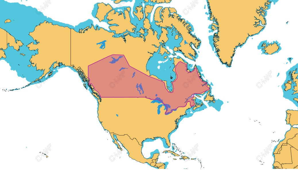
C-MAP M-NA-Y216-MS Reveal Canadian Lakes
Model: M-NA-Y216-MS- Full-Featured Vector Charts
- Shaded Relief
- Hi-Res Bathymetry
- Integrated Genesis Layer
- Custom Depth Shading
- 12 Months’ Free Updates
- Detailed Marina Port Plans
- Dynamic Raster Charts
- Aerial Photography
- Satellite Overlay
- Subscription-Free Easy Routing™
- Tides & Currents
The ultimate chart for Inland, with all the features of DISCOVER, and more. Shaded Relief will let you see the river or lakebed beneath you like never before. Includes exclusive C-MAP Survey data.
Packed with features anglers will love — clearly identify structure, reefs and ledges to find the very best fishing and diving spots. With 12 months’ free updates.
Couldn't load pickup availability
Pickup available at BassBoatWired
Usually ready in 2-4 daysPairs well with
In stock! Ships within 1-2 business days.
90-day risk-free trial
2-Year Warranty
Complimentary shipping & returns
C-MAP Reveal Inland Canada Lakes
If you have any questions, you are always welcome to contact us. We'll get back to you as soon as possible, within 24 hours on weekdays.
-
Shipping Information
Use this text to answer questions in as much detail as possible for your customers.
-
Customer Support
Use this text to answer questions in as much detail as possible for your customers.
-
FAQ’s
Use this text to answer questions in as much detail as possible for your customers.
-
Contact Us
Use this text to answer questions in as much detail as possible for your customers.